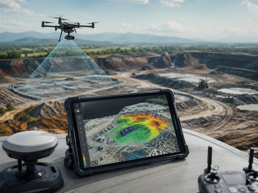
Example: structured aerial capture that can support mapping, documentation, planning, and visual site review.
What It Includes
- FAA Part 107 drone operation
- Planned overlapping aerial capture
- Site imagery for mapping workflows
- Land, construction, or specialty project support
- Delivery format discussed before the shoot
- Custom quote based on acreage, accuracy needs, and output
More Structure
Mapping capture is planned differently than normal photos so the images can support a more useful deliverable.
Better Site Review
Clients can use aerial data to understand land, layout, progress, and project context.
Flexible Output
The scope can be matched to the project instead of forcing every job into the same package.
Photogrammetry support is not a licensed boundary survey unless coordinated with the appropriate professional. Best for planning, visual documentation, and specialty project review.