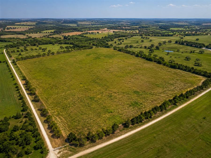
Example: aerial land coverage that shows the parcel setting, road access, surrounding properties, and natural features.
What It Includes
- FAA Part 107 drone operation
- Aerial photos of the land and surroundings
- Road, access, and frontage context
- Ground photos where useful
- Nearby features and neighborhood context
- MLS and web-ready delivery
Show What Photos Miss
Land listings need context. Drone photos show size, shape, access, and surroundings better than ground photos alone.
Help Buyers Evaluate
Buyers can understand trees, roads, neighboring parcels, and nearby features before driving out.
Useful for Acreage
Aerial coverage makes rural property, lots, and larger parcels easier to market online.
Best for vacant lots, acreage, rural property, development parcels, and listings where the land is the main product.